In This Article
- The direction matters more than you think
- July and August are genuinely difficult
- The weather window is smaller than you expect
- Fuel stops are further apart than the map suggests
- The "best" section is not the whole trail
- The lookoffs you want aren't always the signed ones
- Where the drone footage actually looks best
- The honest verdict
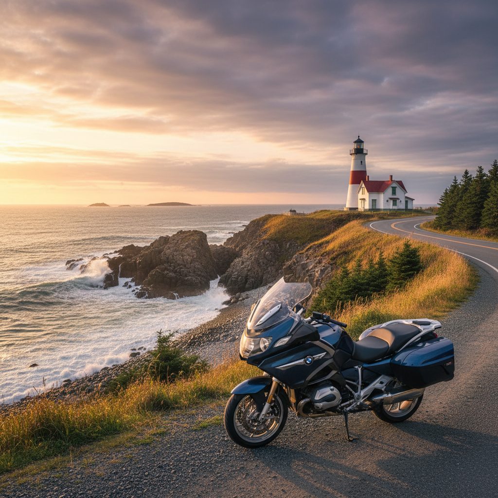
The Cabot Trail on Cape Breton Island is legitimately one of the best motorcycle roads in North America. That part is true. But travel blogs, tourism boards, and Instagram posts have done a thorough job of presenting a version of the Cabot Trail that exists about three weeks per year on a Tuesday morning in September.
Here's what the glossy version leaves out.
What Nobody Tells You About Riding the Cabot Trail
The direction matters more than you think
Almost every guide tells you to ride the Cabot Trail. Almost none of them tell you which direction. It matters a lot.
Ride counter-clockwise — starting in Baddeck, heading toward Cheticamp, then up and over the north mountains, then down the east side back to Baddeck. Here's why:
- Counter-clockwise puts you on the cliff-edge side of the road on the mountain sections, meaning better views out your left side without craning your neck.
- The north section — from Cheticamp to Cape North — is the best part of the trail. Riding it counter-clockwise means you hit it fresh, not at the end of 300 km.
- The descents on the counter-clockwise direction are generally safer, with better sightlines on the tight sections.
Clockwise isn't wrong. Counter-clockwise is better for motorcycles specifically.
July and August are genuinely difficult
The RV problem
In peak summer, the Cabot Trail has serious RV traffic. The mountain sections have tight switchbacks and no passing opportunities. You will be behind a 30-foot motorhome going 40 km/h on some of the best road on the continent. It's frustrating in a way that travel content doesn't prepare you for. Plan your timing accordingly.
June is excellent — weather is generally good and traffic hasn't peaked. September is the best month — fall colours on the mountains, comfortable temperatures, and the tourist traffic drops significantly after Labour Day. The trail in late September looks different and frankly better than any summer shot you've seen.
October is possible but weather becomes unpredictable fast. The mountain sections can see frost, fog, and early snow by late October.
The weather window is smaller than you expect
Cape Breton gets fog. Real, thick, stays-all-day Atlantic fog that turns the famous mountain views into a grey wall. There's no schedule for it. You can check the forecast and still arrive to find the highlands completely socked in.
Build two days into your plan for the Cabot Trail. One to ride it, one as a buffer if the weather is poor. Riders who only have one day and hit fog end up with a mediocre experience and a story about how "the Cabot Trail was kind of overrated." It's not overrated — they just got unlucky and didn't have the flexibility to wait.
Fuel stops are further apart than the map suggests
The north section of the trail — the mountain section everyone comes for — has very limited fuel availability. Cheticamp at the western base and Cape North near the top are your main options. The distance between them is about 65 km, but the riding pace through the mountains is slow. Don't leave Cheticamp without a full tank.
Practical fuel plan
Fill up in Baddeck before you start. Fill up again in Cheticamp before the mountain section. Don't assume anything is open in small communities on the north section — seasonal hours mean that a station that shows up on Google Maps may be closed when you get there.
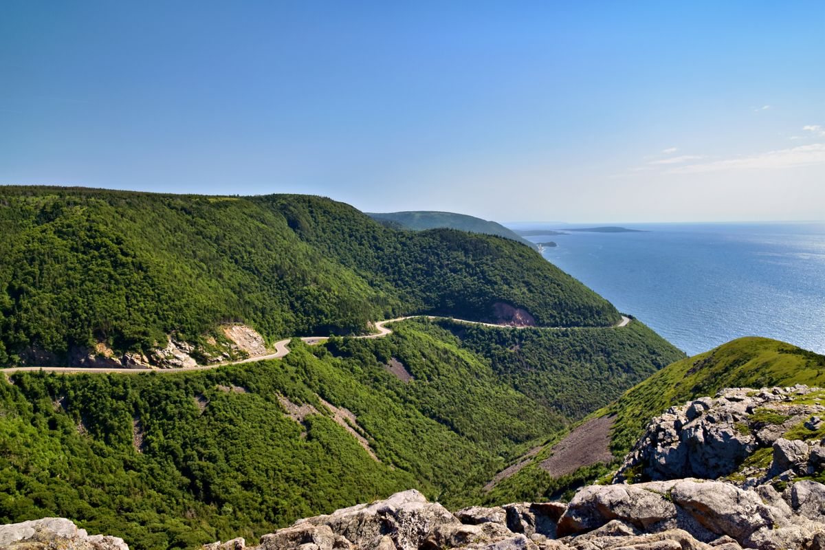
The "best" section is not the whole trail
The Cabot Trail is 300 km. About 80 km of it — the north section from just above Cheticamp to just past Cape North — is extraordinary. The rest ranges from good to very good. The east side through Ingonish and back to Baddeck is scenic but doesn't match the north mountains.
If you're pressed for time, the north section alone is worth the trip to Cape Breton. You don't have to complete the full loop to have the defining experience.
The lookoffs you want aren't always the signed ones
There are official pull-offs throughout the trail with interpretive signs and parking. Those get busy. The views that stop you — the ones worth pulling over and sitting with for ten minutes — are often the unsigned ones, the places where the road bends and the mountains open up unexpectedly. Ride slowly enough to notice them, and stop when something looks good. You're on a motorcycle, not a schedule.
Where the drone footage actually looks best
If you're flying a drone, the north section from Cheticamp to the top of the Mackenzie Mountain is the money shot — the road carving through the mountain with the Gulf of St. Lawrence in the background. The lookoff at the top of French Mountain is a popular but genuinely excellent launch spot with good sight lines and consistent wind that's manageable for most drones.
Check NOTAM (Notice to Airmen) before flying. The Cape Breton Highlands National Park has restricted airspace in some sections and Parks Canada takes it seriously.
The honest verdict
The Cabot Trail earns its reputation. It's a legitimately great motorcycle road, the scenery is spectacular on a clear day, and the experience of riding the north mountain section with the ocean far below is something that stays with you. But it requires the right timing, the right direction, and a realistic understanding of what you're getting into.
Go in September. Ride counter-clockwise. Leave a buffer day for weather. Fuel in Cheticamp. And slow down through the north section — it's too good to rush through.
🎥 Cameras used on this ride: Insta360 X5 for 360° footage and Insta360 Ace Pro 2 for helmet POV — both on Amazon.ca.