In This Article
Combining a motorcycle tour with a drone is one of the best things you can do for your content. You arrive at a spot on two wheels, pull over, have the drone in the air in under two minutes, and you've got aerial footage that most photographers can't get because they drove past the spot at highway speed without noticing it.
I fly sub-250g — currently the DJI Mini 3 — which changes the rules significantly compared to heavier drones. Most of what follows is based on researched locations worth putting on your scouting list, combined with the Canadian drone regulations that apply to our class of aircraft.
Best Drone Spots in Atlantic Canada for Motorcycle Riders
The Sub-250g Advantage in Canada
Transport Canada splits recreational and commercial drone operations into categories based on weight. Under 250g puts you in the Basic RPAS Operations category, which means:
- You need a valid Basic Pilot Certificate from Transport Canada (online exam, not difficult)
- You must stay below 122m (400 ft) altitude
- You must maintain visual line of sight at all times
- You must stay away from controlled airspace (check the NAV DRONE app before every flight)
- No flying over bystanders or moving vehicles
The big advantage: sub-250g drones are not subject to the Advanced RPAS rules, which means you have access to a much wider range of locations without needing special authorizations. That said, National Parks are a separate issue — Parks Canada has its own rules and they apply regardless of drone weight.
National Parks — Read This Before You Fly
Parks Canada prohibits drone use in most national parks without a permit, and the rules are actively enforced. This covers Fundy National Park in NB, PEI National Park, Cape Breton Highlands (Cabot Trail), and Gros Morne in Newfoundland. Fines are real. Always check the specific park's rules and apply for a permit if you plan to fly inside park boundaries. Many of the best shots can be captured from just outside park boundaries — know where the lines are.
New Brunswick
Cape Enrage — Bay of Fundy Clifftops
One of the best drone spots in the province. The lighthouse sits on a dramatic cliff above the Bay of Fundy, and the aerial view of the cliff face, beach, and tidal patterns below is genuinely spectacular. The location is outside National Park boundaries, so Basic RPAS rules apply — check NAV DRONE for airspace before launching.
Best time: low tide for the most dramatic beach and rock exposure. Golden hour makes the red cliffs look extraordinary.
Hopewell Rocks — Tidal Formations
The "flowerpot" rock formations at Hopewell Rocks are visually unlike anything else in Atlantic Canada. The contrast between high and low tide is dramatic from the air — at low tide you can see the full rock bases and the patterned tidal flats. At high tide the rocks appear to float.
Hopewell Rocks is a provincial park, not a National Park, so the Parks Canada permit requirement doesn't apply. Check Transport Canada airspace — the area is generally uncontrolled at that altitude.
Fundy Trail Parkway — Coastal Cliffs
The Fundy Trail Parkway has sections of coastal cliff that look stunning from above — the road hugging the edge, the Bay of Fundy below, and the forest behind. The Big Salmon River area at the bottom of the trail offers a river mouth, suspension bridge, and beach in a single frame. Check the Parkway's specific drone policy before visiting — it changes seasonally.
Prince Edward Island
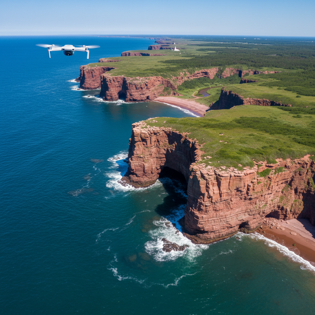
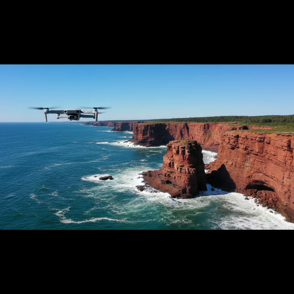
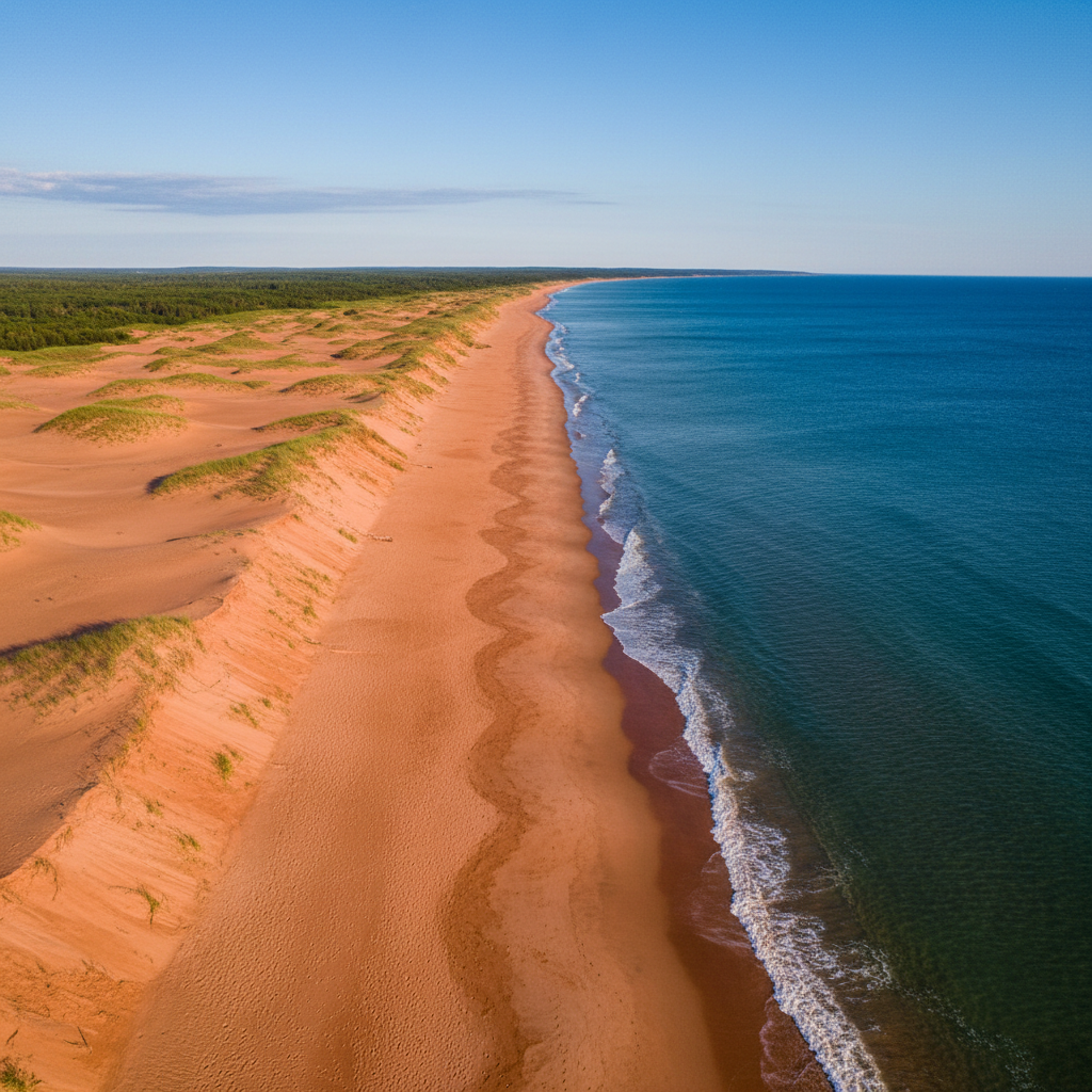
Red Cliffs — North Shore (outside National Park boundaries)
PEI's red sandstone cliffs along the north shore are the island's most photogenic feature from the air. The colour contrast between the rust-red cliffs, green field edges, and turquoise water is the shot that defines PEI visually. Many of the best cliff sections are accessible from points outside PEI National Park — do your research on where the park boundary is before launching.
West Point Lighthouse Area
The western tip of PEI offers open beach, the lighthouse, and the Gulf of St. Lawrence. Quiet, low traffic, and no restricted airspace issues in this area. The beach curves in a way that looks excellent from altitude — the lighthouse as the anchor point with the beach and water framing it.
Confederation Bridge — From the PEI Shore
The bridge itself is restricted airspace — don't fly over the bridge or the water directly under it. But launching from the PEI shoreline and getting the bridge stretching into the distance over the Northumberland Strait is a legitimate and striking shot. Check NAV DRONE for the exact airspace boundaries around the bridge before launching.
Nova Scotia
Cabot Trail — Flying Just Outside the Park Boundary
The Cabot Trail runs through Cape Breton Highlands National Park — and Parks Canada prohibits drone flight inside the park without a permit, regardless of drone weight. But here's the thing: the most cinematic shots don't require you to be inside the boundary. The strategy is to find the spots where the road exits the park and launch from there.
The south end of the trail near Cheticamp and the approach from the Baddeck side both have stretches where the road is outside park boundaries. Pull up the Cape Breton Highlands National Park boundary on Google Maps satellite view before you ride — the park perimeter is clearly defined. There are roadside pull-offs just outside the boundary on both the western and eastern approaches where you can legally launch a sub-250g drone and still get the mountains and coastline in frame.
The shot worth chasing: the trail itself winding up into the highlands with the Gulf of St. Lawrence in the background. You don't need to be at the top of French Mountain to get that frame — the approach roads from Cheticamp heading northeast give you that mountain-meets-ocean composition from outside the boundary. Low altitude, maybe 60–80m, looking back toward the highlands with the road below. That's the money shot and you can get it legally without a Parks Canada permit.
One more tip: the communities of Cheticamp and Ingonish are both outside the park. If you're spending a night in either, early morning launch from town gets you good light on the highlands before the tourist traffic starts moving.
Peggy's Cove
Iconic for a reason. The lighthouse on the granite outcrop, the village, and the North Atlantic swell in the background is one of the most recognizable aerial shots in the country. It's heavily visited — go at sunrise to have the place to yourself. The granite shelf area near the water is not restricted airspace for sub-250g, but be aware of other people and never fly over bystanders.
Newfoundland
Tablelands — Gros Morne (outside park boundaries)
The Tablelands are one of the most visually unusual landscapes in Canada — rust-red and orange earth that looks like a different planet. Gros Morne is a National Park, so Parks Canada rules apply inside the boundary. The Tablelands parking area and surrounding region offer access points to scout. The scale of the landscape reads extremely well from altitude.
Viking Trail — Route 430 Coastal Sections
The western coast of Newfoundland between Deer Lake and St. Anthony has long stretches of open road hugging the coastline with the Long Range Mountains behind. Outside of the Gros Morne park boundary, you have wide-open airspace and almost no people. The motorcycle-on-the-coastal-road aerial shot is easier to capture here than almost anywhere else in Atlantic Canada.
Practical Tips for Flying on a Motorcycle Tour
Battery management
The DJI Mini 3 gets around 38 minutes of flight time per battery in ideal conditions. Real-world with wind is closer to 28-32 minutes. Carry at least two batteries minimum on a tour — three if you have the bag space. LiPo batteries don't like cold; on cool Atlantic Canada mornings, keep them in an inside jacket pocket until you're ready to fly.
Wind is the real variable
Coastal Atlantic Canada is windy. The Mini 3 handles up to about 10.7 m/s (38 km/h), which sounds like a lot until you're standing on a cliff at Cape Enrage in a 40 km/h gust. Check wind at altitude before launching — ground-level wind is almost always lower than what the drone will encounter at 100m. The Windy app gives altitude-specific wind forecasts and is worth having on your phone.
Always check NAV DRONE before every flight
Download the NAV DRONE app from Transport Canada. It shows real-time airspace restrictions, NOTAMs, and drone-specific flight zones. Check it the morning of, not the week before — temporary restrictions pop up regularly. This takes two minutes and keeps you legal.
The motorcycle-and-drone workflow
The best system on a touring bike: drone and batteries in an easy-access top bag or tank bag — not buried in a saddlebag. When you spot a location, you should be able to pull over, have the drone in the air, capture your shot, pack up, and be back on the road in under 10 minutes. If your setup takes 20 minutes of unpacking, you'll stop less often.
The combination of a motorcycle and a sub-250g drone is genuinely hard to beat for travel content in Atlantic Canada. You cover ground quickly, you can access spots cars can't easily reach, and the aerial perspective transforms familiar coastline into something that looks like it belongs in a documentary. That's the goal — and the region gives you more than enough material to work with.
🎥 Cameras used on this ride: Insta360 X5 for 360° footage and Insta360 Ace Pro 2 for helmet POV — both on Amazon.ca.