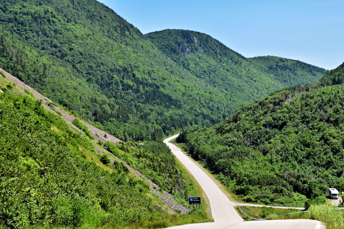
Hidden Gem Motorcycle Routes in Atlantic Canada: Beyond the Cabot Trail
Don't get me wrong — the Cabot Trail is epic. But it's also packed with rentals, tour buses, and stop-and-go traffic in peak summer. If you want real riding, flowing corners, and the feeling of discovering something yourself, you need to go off the beaten path.
I've put over 200,000 km (124,000 miles) on motorcycles over the years, and a big chunk of that has been across New Brunswick, Nova Scotia, PEI, and Newfoundland. These routes aren't secrets to locals — but they should be on every touring rider's radar.
In This Article
Why These Routes?
The Cabot Trail gets all the press, but Atlantic Canada has hundreds of kilometres of flowing, low-traffic roads that most riders never find. These routes reward the curious — the riders who ignore the GPS and explore the map instead.
All four routes below are well-suited to a large touring cruiser like my 2024 Indian Pursuit Dark Horse Icon. None require an ADV bike, though some have gravel approach roads if you want to explore deeper.
Highway 8: Nova Scotia's Smooth Dragon
Highway 8 is the road Nova Scotia locals ride when they want flow without drama. It winds through dense Acadian forest with constant elevation changes that demand proper gear discipline. You'll hit 15–20 corners per kilometre — all perfectly paced, no sudden hairpins, just smooth predictable geometry.
Speed limit is 90 km/h (56 mph), and the road rewards confidence at that pace. The best stretch is the 12 km section between Lake Paul and Musquodoboit — pure, uninterrupted rhythm. My Pursuit feels at home here: the suspension soaking up the minor imperfections while the engine pulls cleanly through the elevation changes.
Fuel up in Truro before heading in. There are limited services on the route itself, and you'll want a full tank to enjoy it without thinking about range.
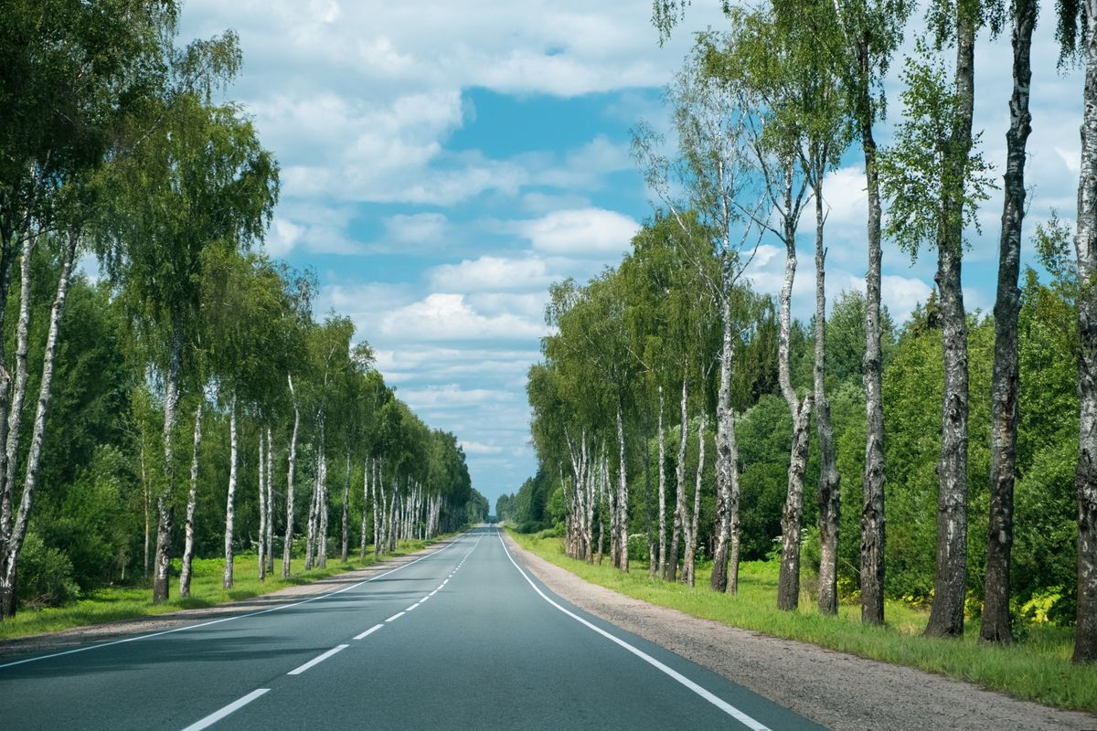
Rang Road Loop: New Brunswick's Best Kept Secret
This is my personal favourite in New Brunswick. The Rang Road loop climbs and descends repeatedly through Acadian farmland and forest. On a summer weekend you might see three other vehicles total. The pavement is excellent — benefited from a resurfacing project a few years back and has held up well.
The technical difficulty is moderate. Not the Tail of the Dragon, but it demands attention. Total elevation gain is approximately 350 metres (1,150 feet) across the loop — you'll feel it. There's a spot near Utopia at the top with a clear view of the Bay of Fundy. Stop there. Bring water.
Start and end in St. Stephen if you're crossing from Maine, or approach from Fredericton via Highway 3 for a longer day trip. The loop pairs well with the coastal roads near St. Andrews.
Whale Cove Road: Cape Breton's Coastal Gem
If you want corners with views, Whale Cove Road is it. This road hugs the Cape Breton coastline and delivers a series of off-camber technical corners — the kind that make you earn every metre. The Atlantic Ocean sits just to your right, and on a clear day the views are genuinely stunning.
Bring your A-game. The road is narrow in spots, and there's no margin for lazy lines. Speed limit is 60–80 km/h (37–50 mph), and you'll ride right at it for the carving alone. I do this road on every Cape Breton trip.
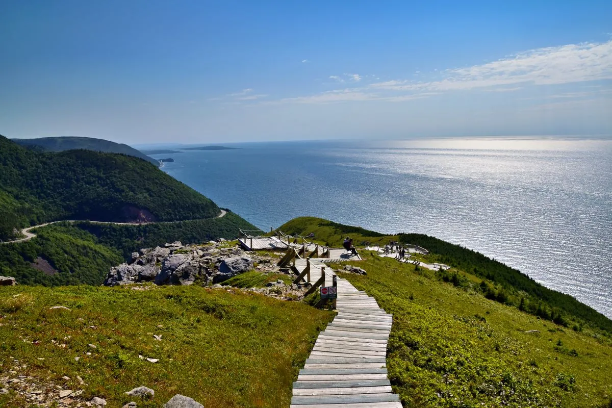
PEI Route 14: Island Carving Paradise
PEI Route 14 is short, but it packs serious quality. The island's rolling terrain creates a riding rhythm that feels almost hypnotic — you're flowing through red soil farms with the Gulf of St. Lawrence visible in the distance. Almost zero truck traffic.
Pair it with a loop down to East Point Lighthouse (about 90 minutes from Charlottetown) and you've got a perfect half-day. The whole island is rideable in a long weekend — catch the ferry from Wood Islands to Pictou, NS and loop back through Cape Breton for a week-long Maritime circuit.
Practical Tips for Atlantic Canada Riding
Weather — Expect the Unexpected
Atlantic Canada's weather is notoriously unpredictable. A clear morning on the South Shore can turn into fog and drizzle by noon. Always carry rain gear. Coastal routes see winds regularly hitting 40+ km/h (25+ mph) — factor that into your riding position and speed choices.
Fuel Planning
My Pursuit has a 22.7L (6.0 gal) tank with a practical range of about 390 km (242 miles) at touring pace. On these secondary routes, services can be sparse — always top up at the last town before a loop. Don't assume there's a gas station every 60 km like on the Trans-Canada.
Road Surfaces
NB secondary roads vary widely. Some are pristine; others have frost heave damage that appears suddenly. Scan well ahead and respect the road surface. Nova Scotia highways are generally in good shape. PEI roads are typically excellent.
Wildlife
Moose are a real hazard in NB and NS, particularly at dawn and dusk. In 20+ years of riding Atlantic Canada I've had multiple close calls. Never ride at high speed on forest roads at low light. Slow down, stay alert.
FAQ
What are the best hidden motorcycle routes in Atlantic Canada?
Beyond the Cabot Trail, top hidden routes include Highway 8 in central Nova Scotia (flowing corners through forest), Rang Road loop in Charlotte County NB (technical elevation with Bay of Fundy views), Whale Cove Road near Neil's Harbour (coastal off-camber corners), and PEI Route 14 from Souris to East Point.
Is Atlantic Canada good for motorcycle touring?
Absolutely. Atlantic Canada offers low traffic volumes, fresh pavement on many secondary roads, stunning coastal and forest scenery, and unique experiences in all four provinces. It's one of the most underrated touring destinations in North America.
When is the best time to ride in Atlantic Canada?
June through September is prime season. July and August offer the most consistent weather. May and October are rideable but expect cooler temperatures and more unpredictable conditions, especially near the coast.
What motorcycle works best for Atlantic Canada touring?
A large touring bike like the Indian Pursuit handles the highways and backroads beautifully. ADV bikes offer more flexibility on gravel approach roads. Pure sport bikes are fine on paved routes but can struggle on rougher secondary roads.
Buy on Amazon
Affiliate Disclosure: As an Amazon Associate I earn from qualifying purchases. If you buy through these links, I may earn a small commission at no extra cost to you.